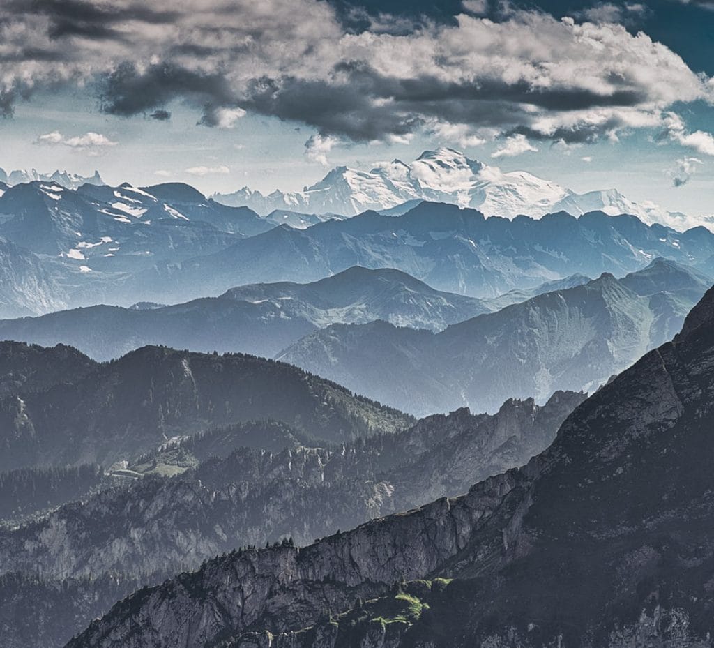
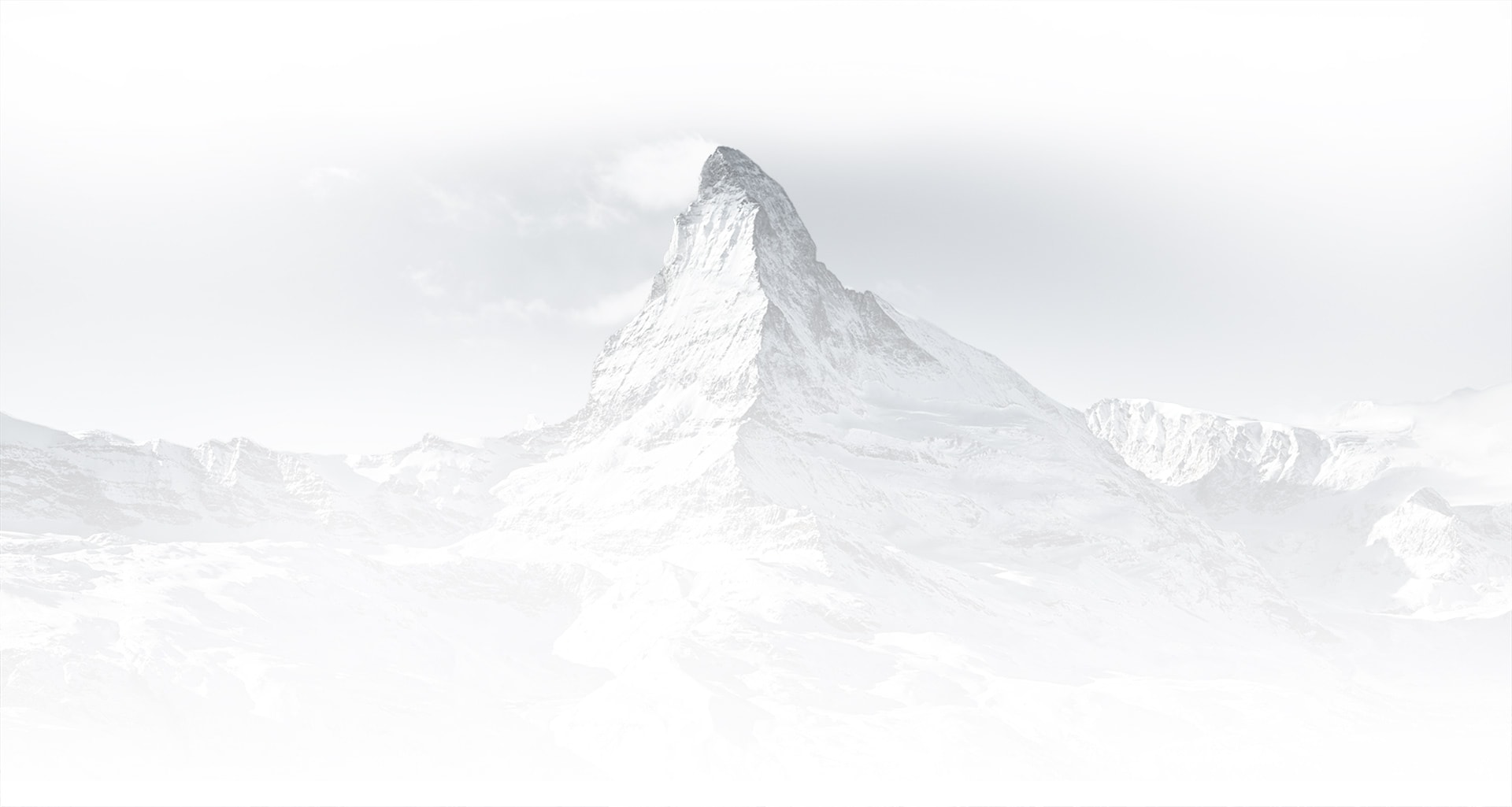
The highest and most extensive mountain range in Europe, and with the richest diversity of fauna and flora, the Alps extend over 1,200 km across eight countries, namely: France, Switzerland, Monaco, Italy, Liechtenstein, Austria, Germany, and Slovenia, and have a surface area of 298 128 km². There are no fewer than 128 peaks higher than 4,000 m with the highest point being the Mont Blanc (which spans France and Italy) at 4,809 m.
Reaching from Nice on the western Mediterranean to Trieste on the Adriatic and Vienna at the beginning of the Pannonian Basin, their altitude and the extent of the range affects the climate across Europe with vastly differing precipitation levels and distinct climatic zones.
Climate
The location of the Alps, as well as the great variations in their elevations and exposure, give rise to extreme differences in climate, not only among separate ranges but also within a particular range itself. While winter temperatures on the valley floors range from −5 to 4 °C to as high as 8 °C in the mountains bordering the Mediterranean, summer temperatures rise to between 15 and 24 °C.
Because of their central location in Europe, the Alps are affected by four main climatic influences: mild, moist air from the Atlantic from the west; cool or cold polar air from northern Europe; continental air masses (cold and dry in winter and hot in summer) in the east; and warm Mediterranean air from the south flowing northward.
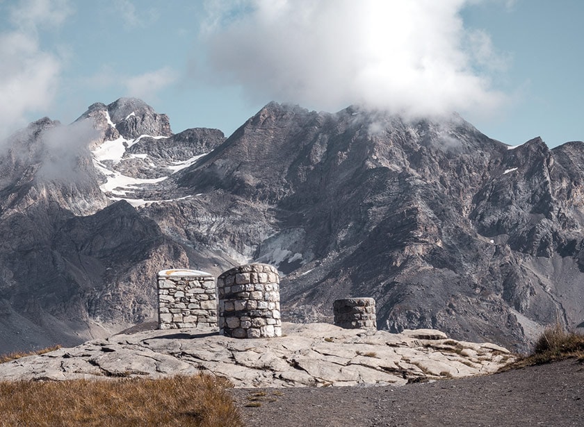
Alpine passes
There are approximately 294 mountain passes in the Alps of which the Col de l’Iseran (2,770 metres above sea level) on the eastern edge of the Vanoise National Park is the highest accessible by road from well-known ski resort Val d´Isere.
Perhaps the most famous is the Great St. Bernard Pass in Switzerland with its incredible scenery, monastery and Switzerland’s most iconic ambassadors – the legendary St-Bernard dogs!
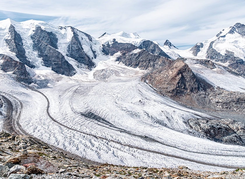
Glaciers
The 1989 International Glacier Registry recorded 5,154 glaciers in the Alps with a surface of a little less than 3,000 km2. The largest Alpine glacier, the Aletsch, is in Switzerland and measures 24 km long, with a surface area of 170 km2, and a thickness of a little less than 900 m) Other important glaciers include the famous Mer de Glace (sea of ice).
Glacier mass has decreased significantly over the past few decades and the Alps is one of the regions where the most shrinkage is occurring. On average, the observed Alpine ‘reference’ glaciers lost more than 24 m in thickness between 1997 and 2017, which corresponds to a mean annual mass loss of 1.2 kg per m2. In 2018, glaciers in the Alps lost another 1.5 m in ice thickness.
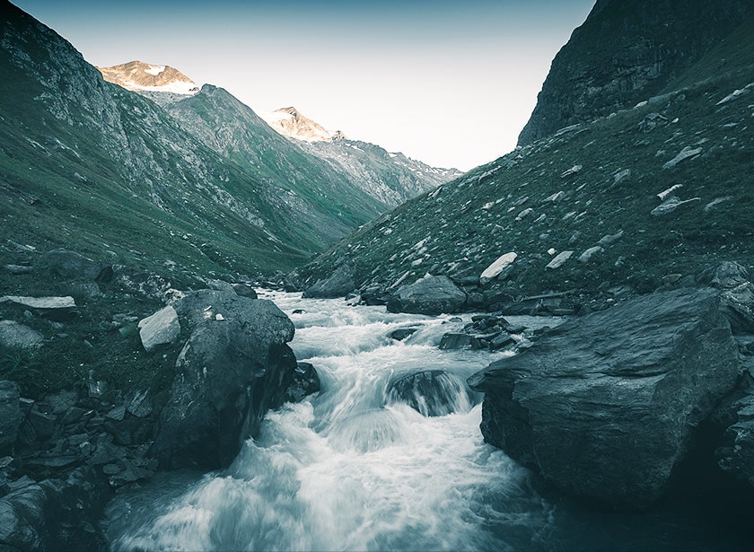
Rivers
Although the area is only about 11% of the surface area of Europe, the Alps provide up to 90% of water to Europe, particularly to arid areas and during the summer months, with cities such as Milan depending on Alpine runoff for over 80% of its water. Glacial runoff also influences ocean ecosystems and water from rivers is used in over 500 hydroelectricity power plants.
Major European rivers such as the Rhine, the Rhône, the Inn, and the Po all flow from the Alps into neighbouring countries, finally emptying into the North Sea, the Mediterranean Sea, the Adriatic Sea and the Black Sea. Other rivers such as the Danube have major tributaries flowing into them that originate in the Alps.
Aside from water, glacial till provides fertile soil for growing crops and deposits of sand and gravel are used to make concrete and asphalt.
A brief history of the alps
a 65-million year old wonder
The Alps were formed during the Alpine orogeny, an event that began about 65 million years ago as the Mesozoic Era was drawing to a close when the African and Eurasian tectonic plates collided. Extreme shortening caused by the event resulted in marine sedimentary rocks rising by thrusting and folding into high mountain peaks such as Mont Blanc and the Matterhorn.
These tectonic movements lasted until nine million years ago. Throughout the Quaternary Period, erosive forces gnawed steadily at the enormous block of newly folded and upthrust mountains, forming the general outlines of the present-day landscape. The landscape was further modelled during the Quaternary by Alpine glaciation and by expanding ice tongues, some reaching depths of nearly 1.6 kilometres, that filled in the valleys and overflowed onto the plains.
Amphitheatre-like cirques, arête ridges, and majestic peaks such as the Matterhorn and Grossglockner were shaped from the mountaintops; the valleys were widened and deepened, and immense waterfalls, like the Staubbach and Trümmelbach Falls in the Lauterbrunnen Valley of the Bernese Alps poured forth from hanging valleys hundreds of feet above the main valley floors; elongated lakes of great depth such as Lake Annecy in France, Lake Constance, bordering Switzerland, Germany, and Austria, and the lakes of the Salzkammergut in Austria filled in many of the ice-scoured valleys; and enormous quantities of sand and gravel were deposited by the melting glaciers, and landslides—following the melting of much of the ice—filled in sections of the valley floors. The hills east of Sierre in the Rhône valley are an example of this last phenomenon.
The Advent of Humans
Evidence of human habitation in the Alps goes back to the Palaeolithic era. A mummified man, determined to be some 5,000 years old, was discovered on a glacier at the Austrian–Italian border in 1991. By the 6th century BC, the Celtic La Tène Iron Age culture was well-established and the Romans had settlements in the region.
Despite the fact that Switzerland has been neutral since 1515, the Alps have been the route of choice for some of the most renowned military commanders in history – notably Hannibal who famously crossed the Alps (arguably over the 2188m high Col du Petit Saint-Bernard with a herd of elephants in 218 BC, and Napoleon, who crossed the Great St-Bernard pass with an army of 40,000 in 1800.
A strong cultural identity
The early travellers to the Alps were greatly inspired by the spectacular beauty they encountered , with the 18th and 19th centuries seeing an influx of naturalists, writers, and artists, in particular, the Romantics, followed by the golden age of alpinism .
The Alpine region has a strong cultural identity and the traditions of farming, cheesemaking, and woodworking still exist in Alpine villages today, although the tourist industry began to grow early in the 20th century, expanding greatly after World War II to become the dominant industry by the end of the century. The Alps are currently home to some 14 million people and host some 120 million visitors annually.
Residents in the Alps
+0mil.
Annual visitors
+0mil.
Decrease in glacier volume since 1850
0%
residents in the Alps
+0mil.
annual visitors
+0mil.
decrease in glacier volume since 1850
0%
residents in the Alps
+0mil.
annual visitors
+0mil.
decrease in glacier volume since 1850
0%
With popularity, however, came growth
Human impact on the Alpine environment
With popularity, however, came growth; and the impact of so many people caused a steady degradation of the Alpine environment that began in the mid-20th century. This has resulted in air of poorer quality; water pollution in rivers and lakes; a rise in noise pollution; slope erosion caused by the construction of ski slopes and roads; dumping of solid and organic waste; erosion from the quarrying of rock, sand, and gravel for construction; and forests weakened by acid rain. Slowly, the unique landscape and flora of the Alps that so inspired the early travellers is being irrevocably altered.
Located in several developed and interconnected nations, this living mineral massif, the continent’s largest continuous ecosystem, Europe’s ‘water tower’, is subject to countless pressures and is under threat from a wide variety of stressors. The development of ski resorts has depleted many forests, which serve as natural barriers against avalanches.
A place of life and traditions, a natural home for wild and domesticated species, a home to vital glaciers and countless lakes, and the source of great rivers, all are in a tense, often unstable equilibrium, due to global warming, urbanisation that is nibbling away at them, the decline of traditional agricultural practices, over-visitation by tourists and communication routes criss-crossing this natural barrier within Europe. Spreading settlements, unsustainable farming, road networks, and river dams all resulting in habitat loss and fragmentation pose major threats to the richness of Alpine biodiversity.
The Alpine Eagle Foundation has chosen the eagle to symbolise influential action on behalf of the entire ecosystem. Majestic yet threatened, it is the emblem of an approach that targets the entire surrounding Alpine environment. With its outstretched wings, it appears to embrace the landscape over which it soars, and that the Foundation bearing its name intends to protect.